Advanced Land Engineering & Cadastral Mapping
Ganga Residency: Drone Surveys & GPS Boundary Mapping Explained
In contemporary real estate development, transparency and absolute dimensional integrity are the bedrock of investor confidence. At Ganga Residency in Garhmukteshwar, we have fully integrated RTK (Real-Time Kinematic) drone photogrammetry and high-precision GPS coordinate mapping to eliminate ambiguity, prevent boundary disputes, and guarantee centimeter-level plot accuracy across our entire gated township.
As discerning buyers increasingly demand verifiable land records alongside physical infrastructure, understanding how digital surveying works provides complete peace of mind. Before reviewing plot dimensions on our official Price List or examining the layout on our Master Plan Page, it is vital to examine the sophisticated surveying technology that underpins every square yard of our gated community.
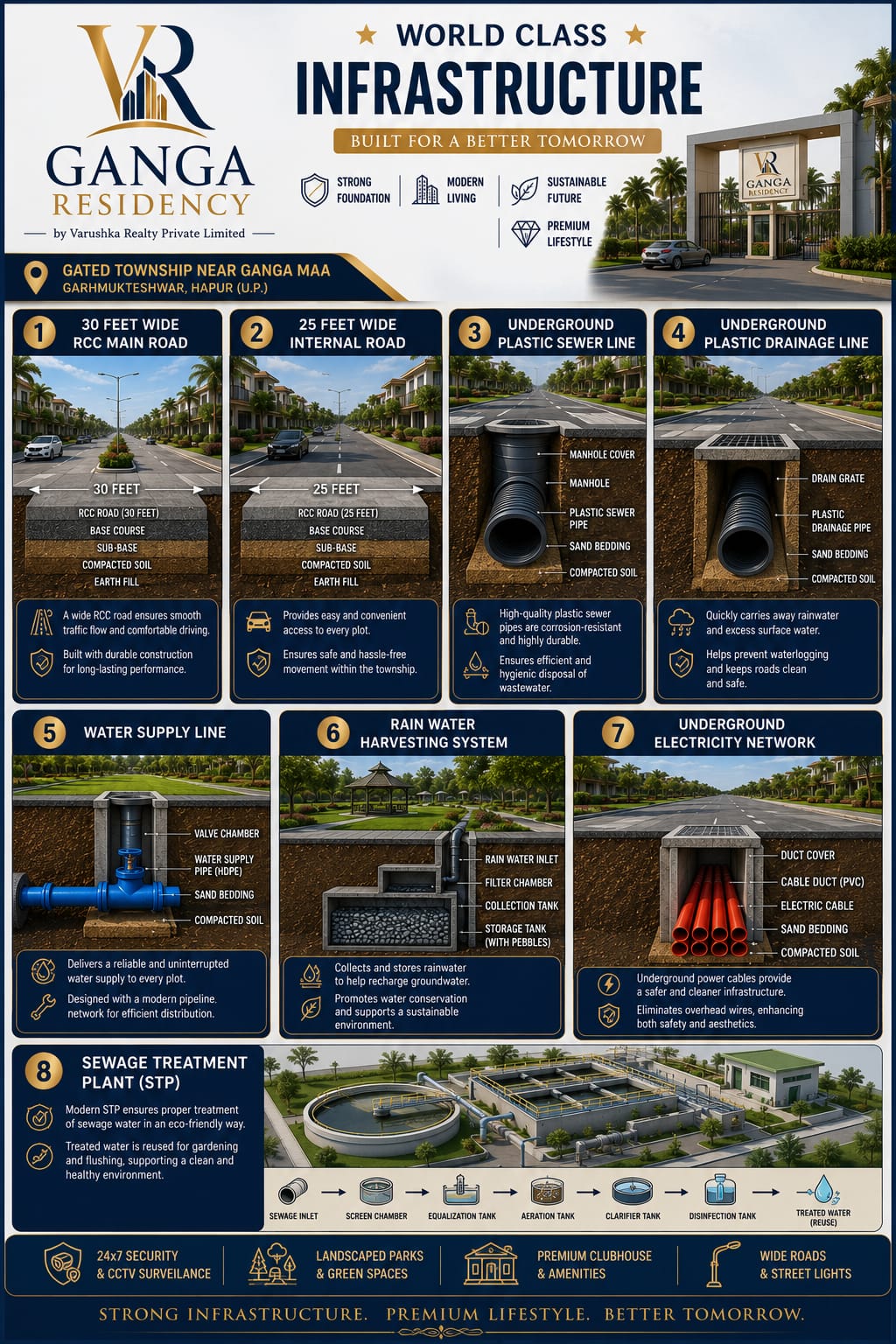
Precision-engineered township roads, underground services, and demarcated plots mapped with sub-centimeter GPS accuracy.
1. The Evolution of Land Measurement: From Manual Chains to RTK Satellites
Traditional Indian real estate plotting historically relied on physical steel chains, magnetic prismatic compasses, and manual triangulation by revenue patwaris. While functional in past decades, these legacy methods introduced inherent human error, cumulative measurement drift, and discrepancies over large tracts of land.
Ganga Residency revolutionizes this process by leveraging satellite-linked GNSS (Global Navigation Satellite Systems) rovers and autonomous Unmanned Aerial Vehicles (UAVs). This guarantees that every individual plot boundary corresponds precisely with government cadastral records and legal registry deeds down to the millimeter.
Centimeter Precision
Eliminate measurement deviations using real-time kinematic ground station correction and dual-frequency satellite receivers.
Zero Encroachment Risk
Permanent electronic and physical boundary pillars ensure secure plot perimeters that remain immutable across generations.
Rapid Topography
Aerial orthomosaic mapping yields precise elevation profiles, drainage slopes, and stormwater grading data instantly.
2. The Core Technologies Powering Our Surveys
Our surveying infrastructure relies on a synergy of cutting-edge hardware and GIS software. Understanding these components highlights our commitment to engineering excellence:
RTK UAV Drones
High-end quadcopters equipped with PPK/RTK modules capture geotagged aerial photographs simultaneously while referencing base station coordinates, bypassing atmospheric interference.
GNSS Base Stations
Ground-based reference receivers stationed on site compute real-time error corrections, transmitting them instantly to drones and handheld rovers for pinpoint accuracy.
3. Step-by-Step Workflow of Drone Photogrammetry at Ganga Residency
Executing a professional drone survey requires a rigorous multi-stage workflow managed by certified geospatial engineers:
1
Mission Planning & Flight Path Design
Autonomous flight vectors are programmed into GIS software, setting precise overlap parameters, altitude limits, and camera shutter intervals to ensure complete photographic coverage.
2
Ground Control Point (GCP) Deployment
High-contrast physical ground targets are distributed strategically across the land parcel and measured with RTK rovers to anchor the aerial survey to exact global coordinates.
3
Aerial Capture & Photogrammetric Stitching
Drones capture thousands of ultra-high-resolution images. These are processed through advanced photogrammetry engines to generate orthomosaic maps and 3D digital terrain models (DTMs).
4
Cadastral Superimposition & Verification
The finished digital map is overlaid onto official government revenue maps (Shajra) and cross-verified against our master blueprint on our Master Plan Page.
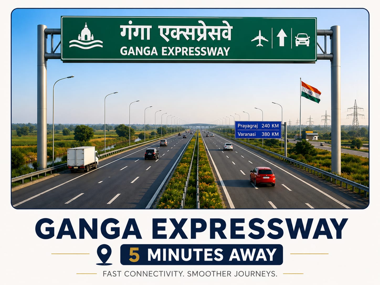
Arterial road networks and regional transit corridors mapped and integrated into the broader Garhmukteshwar development grid.
4. Comparative Analysis: Manual Surveying vs. RTK Drone Mapping
To fully appreciate the technical leap implemented at Ganga Residency, review the comparative breakdown contrasting conventional land surveying with modern geospatial techniques:
| Evaluation Metric | Conventional Manual Surveying | RTK Drone & GPS Mapping (Ganga Residency) |
|---|---|---|
| Measurement Accuracy | Prone to human tape reading errors and cumulative chain drift (centimeters to meters). | Sub-centimeter precision locked via real-time satellite RTK corrections. |
| Survey Speed & Area | Labor-intensive field measurements taking weeks or months to complete. | Entire site scanned, stitched, and verified within hours with complete data density. |
| Data Visualization | 2D paper blueprints offering minimal topographical insight. | High-resolution 3D digital elevation models, orthomosaics, and CAD overlays. |
| Legal & Title Clarity | Vulnerable to physical boundary shifts and encroachments over time. | Permanently archived GPS vertex coordinates tied directly to registry deeds. |
5. Buyer Benefits: Complete Transparency & Instant Site Verification
For homebuyers and real estate investors looking at properties near the sacred Ganga River and the upcoming expressway corridors detailed on our Location Page, survey transparency is a decisive factor.
When you acquire a plot at Ganga Residency, you receive documentation backed by exact GPS vertex coordinates. This enables you or your builder to verify your plot boundaries on site instantly using handheld GNSS tools or mobile GIS applications. Furthermore, our robust infrastructure—highlighted on our Highlights Page and Amenities Page—is constructed precisely along these digitally audited property lines.
6. Frequently Asked Questions on Land Demarcation
Here are detailed answers to common buyer queries regarding our land surveying and GPS boundary mapping protocols:
Can I verify my plot boundaries independently?
Yes. Every plot allotment file includes precise corner GPS coordinates, allowing you to cross-verify your exact boundaries with any certified third-party surveyor at any time.
How are permanent boundary markers maintained?
Ganga Residency installs reinforced concrete corner pillars embedded with stainless steel identification tags during infrastructural development to ensure physical durability.
Do digital GPS surveys align with government revenue records?
Absolutely. All drone mapping and GPS coordinates are meticulously reconciled with Uttar Pradesh state revenue department records (Khatauni and Shajra plans) to ensure unblemished legal titles.
To discover more about our transparent pricing models or to schedule a guided physical site visit, explore our Contact Page or browse further technical resources in our Blog Directory.
Experience Absolute Transparency at Ganga Residency
Schedule a site visit today and inspect our digitally mapped, survey-verified residential plots in Garhmukteshwar.